
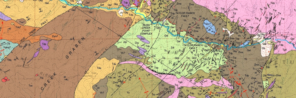
Geologic Mapping
Geologic maps provide vital information for land-use planning, resource identification, and natural hazard avoidance, and are critical for growing the economy.
Less than 50 percent of the conterminous U.S. has been mapped at the appropriate level of detail for today’s challenges.
ISU Geosciences has a long tradition of teaching students to create geologic maps. Technology has allowed progress from creating paper maps to digitizing maps in a GIS platform. Most are available from the Idaho Geologic Survey.
Maps Submitted to the Idaho Geological Survey
Abplanalp, Jason M., Cody Pink, Michael C. Pope and John A. Watkinson, 2008. Geologic Map of the Southern Beaverhead Range (Parts of Copper Mountain, Shamrock Gulch, Scott Butte, and Snaky Canyon Quadrangles), Clark, Jefferson, and Lemhi Counties, East-Central Idaho. Moscow. Publication ID: T-08-1, Moscow: Idaho Geological Survey.
Crane, Tracy J., Paul K. Link, Steven S. Oriel, 2001. Geologic Map of the Lava Hot Springs Quadrangle, Bannock County, Idaho. Publication ID: T-01-3, Moscow: Idaho Geological Survey.
DeVecchio, Duane E., Steven S. Oriel , Paul K. Link, 2003. Geologic Map of the Downey East Quadrangle and Regions of the Swan Lake, Oxford, and Cottonwood Peak Quadrangles, Bannock County, Idaho. Publication ID: T-03-2, Moscow, Idaho Geological Survey.
Diedesch, Timothy F., David W. Rodgers, and Paul K. Link, 2012. Geologic Map of Portions of the Phi Kappa Mountain, Hyndman Peak, and Grays Peak Quadrangles, Blaine and Custer Counties, Idaho. Publication ID: T-12-4, Moscow: Idaho Geological Survey.
Keeley, Joshua A., David W. Rodgers, Paul K. Link, and Skye Cooley, 2011. Geologic map of the Thatcher Hill Quadrangle and portions of the Treasureton and Cottonwood Creek Quadrangles, Franklin, Bannock and Caribou Counties, Idaho. Publication ID: T-11-2, Moscow: Idaho Geological Survey.
Link, Paul K., Loudon R. Stanford. 1999. Geologic Map Compilation of Pocatello 30 x 60 Minute Quadrangle, Idaho. Publication ID: T-99-2, Moscow: Idaho Geological Survey.
Long, Sean P., P. K. Link, Susanne U. Janecke, and David W. Rodgers. 2004. Geologic Map of the Henderson Creek Quadrangle, Oneida County, Idaho. Publication ID: T-04-3, Moscow: Idaho Geological Survey.
Long, Sean P. and Paul K. Link, 2007. Geologic Map Compilation of the Malad City 30 x 60 Minute Quadrangle, Idaho. Publication ID: T-07-1, Moscow: Idaho Geological Survey.
Meyers, Jessica L., P. K. Link, David Pearson and Stanely A. Mertzman, 2014. Geologic Map of the Little Wood River Reservoir 7.5' Quadrangle, Blaine County, Idaho. Publication ID: T-14-3, Moscow: Idaho Geological Survey.
Michalek, Milana, 2010. Geologic Map of Parts of the Lake Hills and Carey Quadrangles, Blaine County, Idaho. Publication ID: T-10-3, Moscow: Idaho Geological Survey.
Platt, Lucian B., 1998. Geologic map of the Scout Mountain quadrangle, Bannock County, Idaho. Publication ID: GM-22, Moscow: Idaho Geological Survey.
Pope, Aaron D., James J. Blair and Paul K. Link, 2001. Geologic Map of the Wakley Peak Quadrangle, Bannock and Oneida Counties, Idaho. Publication ID: T-01-4, Moscow: Idaho Geological Survey.
Price, Kathleen B., and David W. Rodgers. 2010. Geologic Map of north end of the Big Hole Mountains, Madison and Teton Counties, Idaho. Publication ID: T-10-2, Moscow: Idaho Geological Survey.
Riesterer, James W., Paul K. Link, and David Walter Rodgers, 2000. Geologic map of the Bonneville Peak Quadrangle, Bannock and Caribou Counties, Idaho. Publication ID: T-00-3, Moscow: Idaho Geological Survey.
Rodgers, David W., S.P. Long, N. McQuarrie, W.D. Burgel, and C.F. Hersley, 2006. Geologic Map of the Inkom Quadrangle, Bannock County, Idaho. Publication ID: T-06-2, Moscow: Idaho Geological Survey.
Rodgers, David W. and Kurt L. Othberg, 1999. Geologic map of the Pocatello South Quadrangle, Bannock and Power Counties, Idaho. Publication ID: GM-26. Moscow: Idaho Geological Survey.
Oakley, W. L. III and P. K. Link, 2006, Geologic map of the Davis Mountain quadrangle, Gooding and Camas Counties, Idaho. Publication ID: T-06-6, Moscow: Idaho Geological Survey.
Stewart, Eric D., Paul K. Link and David W. Rodgers, 2010. Geologic Map of Allan Mountain Quadrangle, Lemhi County, Idaho, and Ravalli County, Montana. Publication ID: T-10-1, Moscow: Idaho Geological Survey.
Stewart, David E., Reed S. Lewis, Eric D. Stewart and Paul Karl Link, 2013. Geologic map of the Central and Lower Big Creek Drainage, Central Idaho. Publication ID: T-33-13, Moscow: Idaho Geological Survey.
Stewart, Eric D., Travis D. Steel, David E. Stewart, and Paul K. Link, 2014. Geologic Map of Gibbonsville, Shewag Lake, and Allan Mountain Quadrangles, and Parts of the Lost Trail Pass and Big Hole Pass Quadrangles, Lemhi County, Idaho, and Ravalli and Beaverhead Counties, Montana. Publication ID: T-14-2, Moscow: Idaho Geological Survey.