
Data Resources
External GIS Data Resources
GIS Viewers
View and Download Geology Maps
Map "Rest" Services
USGS; National Map Small Scale
World Bank, USGS Active Mineral, Various, etc.
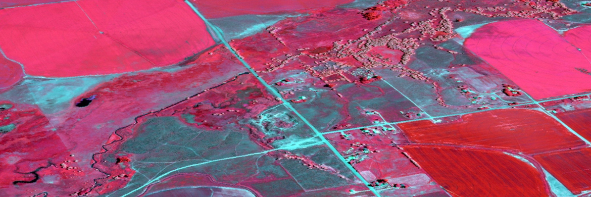
Volcanoes, Cropland, various, etc.
Global Relief Model: Color Shaded Relief
Digital Elevation Model Footprints
Tsunami Energy Maps for Historical Events
Digital Elevation Model Global Mosaic
Sea Surface Temperature Monthly Averages
Digital Elevation Model Subsets
EMAG2v3: Earth Magnetic Anomaly Grid (image service)
National Data Links
The National Geologic Map Database
Integrated Resource Management Applications
BLM General Land Office Records
US Army Corps of Engineers Digital Library
Earth Survey PLSS in Google Earth
Multi-Resolution Land Characteristics (MRLC) Consortium
Land Processes Distributed Active Archive Center
Goddard's LiDAR, Hyperspectral & Thermal Imager
Idaho Data Links
State Data Links
Census, Historical & Social Data
TIGER/Line Shapefiles Census Data
US Congressional District Shapefiles
NHGIS-National Historical GIS Data
Open Context - Publishing research data on the Web