
ISU doctoral student Rick Richardson investigates using 3-D topographic maps to teach spatial thinking skills, measure mental effort
December 1, 2016
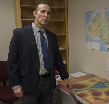
POCATELLO – Idaho State University Instructional Design and Technology Ph.D. candidate Rick Richardson is investigating the use of topographic maps to teach spatial thinking skills and measure the total amount of participants’ mental effort, known as cognitive load.
“This project has both significant and broad impacts,” Richardson said. “Spatial thinking is a topic that receives limited instructional time in K-12 and undergraduate education. The National Science Council recommends that teaching spatial thinking should receive more curriculum attention because it has been associated with success in science, technology, engineering and math (STEM) fields. The findings from this research have the potential to enhance student success in STEM education.”
The Instructional Design and Technology program is offered through the ISU College of Education’s Department of Organizational Learning and Performance. Richardson is the 2016 recipient of a $16,000 National Science Foundation Doctoral Dissertation Research Improvement (DDRI) grant for Spatial Science and was the recipient of the ISU 2015 Outstanding Graduate Student Award. The DDRI is a highly-competitive national award for doctoral candidates that supports their research efforts: purchasing specialized equipment, hiring lab assistants, and subsidizing travel costs to present results at national and international conferences.
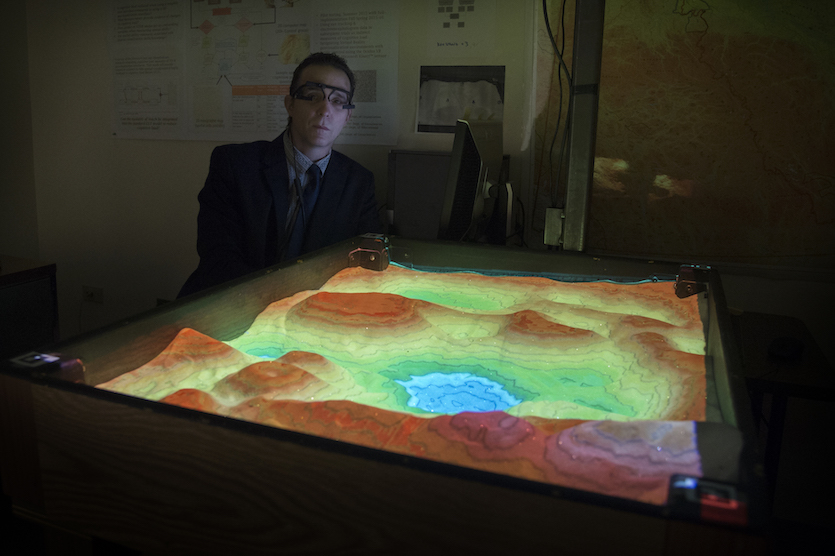
As principal investigator, Richardson’s ultimate goal is to improve spatial thinking through appropriate instruction. He is leveraging two innovative technologies to support his research, the Augmented Reality Sandbox and mobile eye-tracking.
 The Augmented Reality Sandbox, developed by Oliver Kreylos at the University of California – Davis, allows users to shape modelling sand to represent topographic features, such as mountains, valleys, and rivers. The surface of the sand is scanned and a projector overlays a color image on the sandbox surface in real time. The sandbox allows users to use touch as well as vision to interact with a 3-D map.
The Augmented Reality Sandbox used in this study was constructed by ISU geoscience students in Assistant Professor Donna Delparte’s “Geovisualization 5599” course.
This project is also using Pupil Labs eye-tracking headsets to measure users’ visual attention and cognitive load through eye movements and pupil dilation. Performance tests and mental effort ratings from using the Augmented Reality Sandbox are compared to participants engaged in the same tasks with a conventional topographic map. The objective is to find how multisensory instruction can improve spatial thinking ability with minimum cognitive load.
His major advisor, Dotty Sammons, Associate Professor in the College of Education and the ISU Informatics Research Institute, along with committee members ISU College of Education Professor Emeritus Peter Denner, ISU Department of Psychology Visiting Assistant Professor Tina Miyake, Boise State University Assistant Professor Quincy Conley, and ISU College of Education Professor Beverly Ray, have offered tremendous support in advancing this line of innovative research, Richardson said.
Anyone interested in more information or collaborating on research using the Augmented Reality Sandbox and/or mobile eye tracking should contact Rick Richardson at richric3@isu.edu.
Categories: