
Idaho State University/NASA develop tool to track cheatgrass, monitor potential wildfire hazard
August 7, 2015
POCATELLO – Idaho State University and NASA researchers teaming up with the Bureau of Land Management used satellite imagery to identify increased wildfire susceptibility due to the invasion of cheatgrass on rangelands.
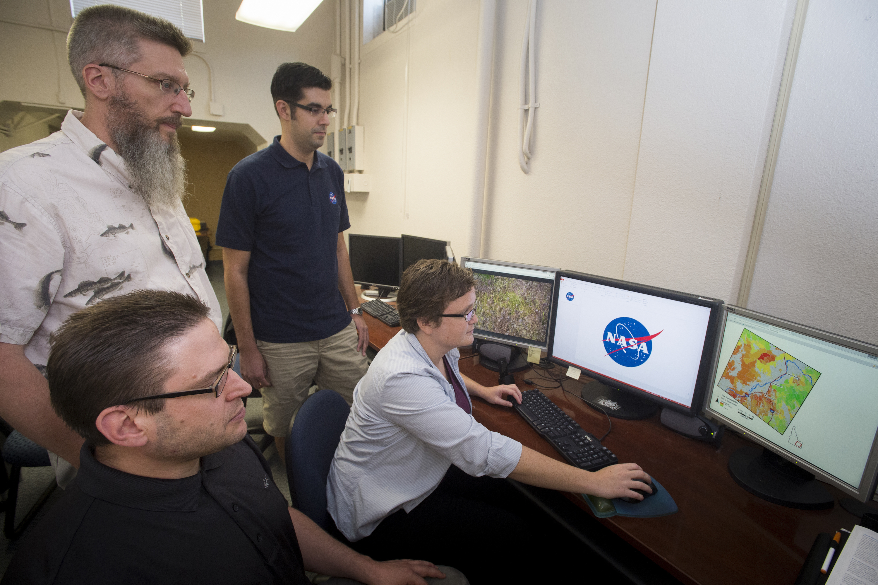
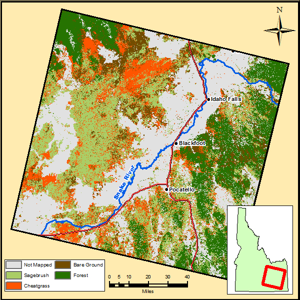
The Idaho Disasters III Project Team working at ISU’s GIS Training and Research Center, one of only eight regional NASA DEVELOP Nodes in the United States, created reliable map images that BLM managers can use to identify cheatgrass infested areas. The map covers a large swath of eastern Idaho.
“By using Landsat 8 imagery, and classification tree analysis, which is an advanced artificial intelligence routine, we have been able to construct a reliable classification system to identify cheatgrass infestations that is accurate,” said Keith Weber, director of the ISU GIS Center. “This has implications for fire susceptibility. Cheatgrass is driving wildfire on rangelands and we need to identify areas that have heightened susceptibility to wildfire.”
“These images are incredibly helpful for us,” said Shelli Mavor, fire ecologist for the BLM Pocatello Field Office. “We can use this tool for burn recovery and habitat restoration. This will also be a very useful tool for sage grouse habitat rehabilitation and planning.”
Jeff May, the lead on this DEVELOP project, gave a project presentation this July in Washington, D.C. at the NASA Applied Science Application Showcase, which highlights NASA DEVELOP achievements.
“One of the main objectives of the NASA DEVELOP program is to take NASA technologies and find ways that land managers can apply them to make better land management decisions,” May said. “And we feel like we succeeded with this project.”
The DEVELOP team working on this project at ISU included Weber, May, Zachery Simpson, an ISU graduate who will be pursuing a GIS certificate this fall, and Jenna Williams, from northern Colorado who will be taking over node leadership at ISU for the DEVELOP program beginning this fall.

“We are working hand-in-hand on these projects with ISU and NASA,” said the BLM’s Mavor. “They are coordinating with us about what would be the most useful projects using remote sensing for planning purposes. I am really excited to use the models created from the cheatgrass project and am excited about the next project on juniper encroachment mapping.”
The juniper encroachment mapping project will include input and participation by the Idaho Department of Fish and Game’s Mule Deer Initiative as well.
A presentation of the cheatgrass project will be held at 1 p.m. Aug. 6 in the ISU GIS Training and Research Center located in Room B19 of Graveley Hall on the ISU Pocatello campus. The official title of the research project is “Idaho Disasters III Project Team – Using Landsat 8 Earth Observations to Identify Increased Fire Susceptibility Due to Invasion of Cheatgrass (Bromus tectorium).”
For more information on this study, visit http://earthzine.org/2015/07/30/a-burnin-range-of-fire-wildfire-susceptibility-and-fuel-in-idaho/.
Categories: