Visualizations & Story Maps
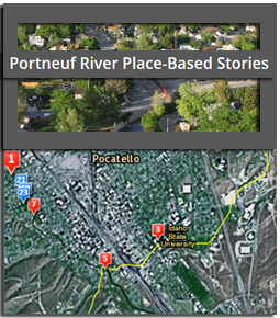
Portneuf Place-Based Stories
A Story Map by Yolonda Youngs, Geography at Idaho State University
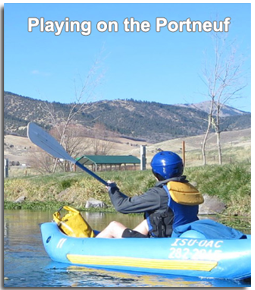
Playing on the Portneuf
Highlighting recreation opportunities & challenges.
by Drs. Danelle Larson, Colden Baxter, Yolonda Youngs
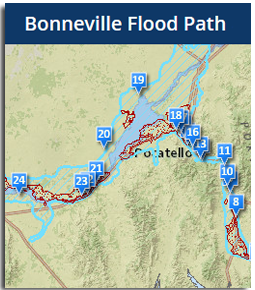
Bonneville Flood Path
The path of the Lake Bonneville Flood through south east Idaho
by Diana Boyack

Pocatello Annexation History
by Jared Ogle, 2017
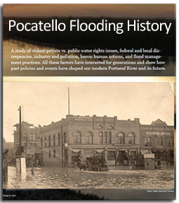
Explorations of Pocatello's Flooding History
Josh Eppley, History & GIS Idaho State University
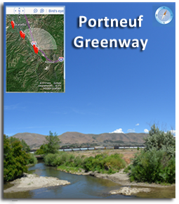
Visit the Portneuf Greenway Virtual Tour
by Donna Delparte & CI Team
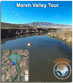
Virtual Tour of Marsh Valley, Idaho
Tour of Marsh Valley using a go pro type camera
by Jerad Anderson

Green Pocatello
A story map comparing vegetation and temperature in the Pocatello area by Jared Ogle
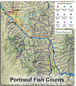
Historic Fish Counts in Portneuf River
by Cody Feldman & Charles Peterson

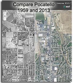
Pocatello & The Portneuf River 1959
3D visualization of Portneuf River in downtown Pocatello, Idaho
by Meg Tracy, 2016
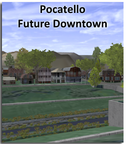
Future Downtown Pocatello
by Meg Tracy